This is the Archived version of this page that was originally submitted for this assignment.
Click Here to return to the updated version.
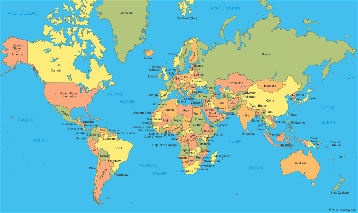
Try hovering your mouse over each country if you're not sure what the country is! This Image Map covers about 95% of the countries of the world. The few that don't work are extremely small so for sake of usability I did not map those countries to a website. You will also see that for countries that are small but have labels pointing to them, the labels will link to the website as well. Each link will take you to the country's government homepage or an information page about their government. Please note that not all of them are in English!